

What does Philippines seek with new Thitu map in South China Sea?
- Posted on October 2, 2026
- By South China Morning Post
- 1 Views
- 1 min read
In brief
The Philippines has strategically released detailed cartographic documentation of Thitu Island, including precise coordinates and legal justifications, to strengthen its territorial claims in the disputed South China Sea region. This approach aims to establish clearer international legal boundaries and reduce ambiguity surrounding maritime jurisdictions. By providing transparent evidence-based positioning data, Manila seeks to reinforce its sovereignty arguments within the framework of international maritime law and existing treaties.
Summary auto-generated by AI from the original publisher's content. Editorial standards.
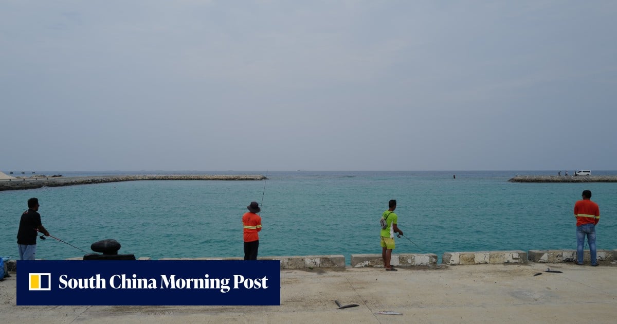
What does Philippines seek with new Thitu map in South China Sea?
By publishing coordinates, charts and the legitimate basis of its position, the Philippines is aiming to reduce legal ambiguity, experts say.