
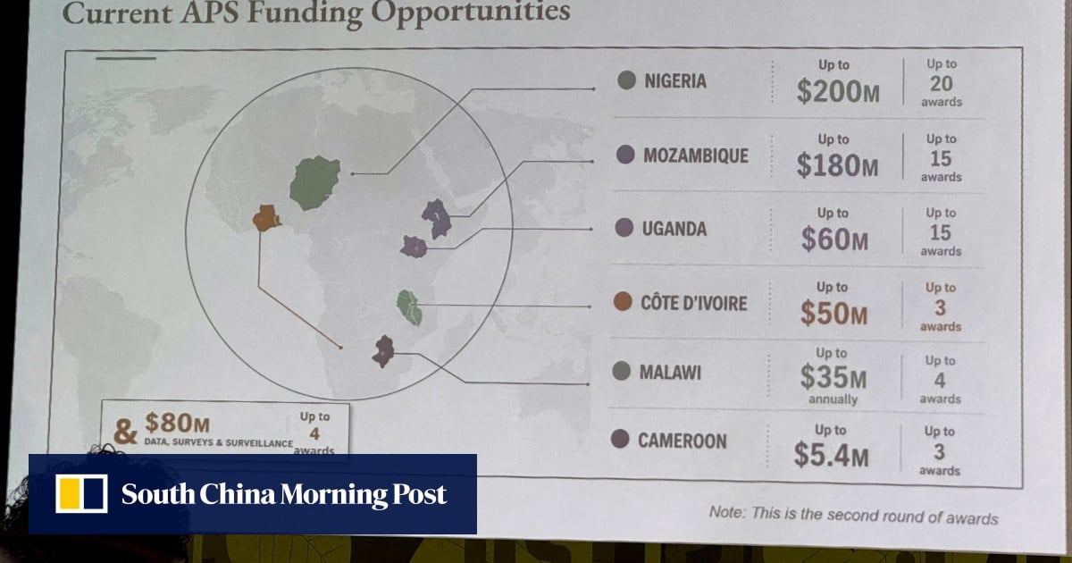
US government map of Africa gets every country wrong at global conference
- Posted on July 30, 2026
- By South China Morning Post
- 1 Views
- 1 min read
In brief
During an international diplomatic event, the U.S. government presented a geographical map of Africa that contained significant inaccuracies affecting multiple nations' borders and positioning. The embarrassing mistake was compounded by the discovery of an OpenAI watermark embedded in the graphic, raising questions about the reliability of AI-generated visual content in official government communications and highlighting the critical need for human verification in high-stakes presentations.
Summary auto-generated by AI from the original publisher's content. Editorial standards.
US government map of Africa gets every country wrong at global conference
The errant graphic contained a watermark signalling that it was made with OpenAI tools.

)