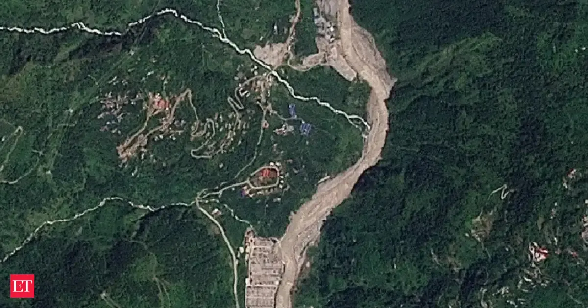

Nepal floods: 20 years of satellite images reveal how a Himalayan river corridor became a disaster trap
- Posted on August 29, 2026
- By Business News Today
- 1 Views
- 1 min read
Two decades of satellite imagery analysis reveals how unchecked urban expansion has fundamentally altered Nepal's Himalayan river valleys, transforming the Lhende-Trishuli corridor into a high-risk flood zone. Infrastructure proliferation including roads, bridges, commercial establishments, and energy facilities has eliminated natural buffer zones that previously absorbed seasonal water surges. The August flooding catastrophe exposed critical vulnerabilities in this densely developed landscape, where rapid urbanization without adequate environmental planning created conditions for disaster escalation.
Summary auto-generated by AI from the original publisher's content. Editorial standards.