

Tuttiquotidiani is completely free. Every day we aggregate news from 100+ sources and generate original AI summaries for you. Help us keep the service running with a small donation, or become TQ Pro for just €1/month.

Nepal floods: 20 years of satellite images reveal how a Himalayan river corridor became a disaster trap

  • Posted on August 29, 2026
  • By Business News Today
  • 1 Views
  • 1 min read
In brief

Two decades of satellite imagery analysis reveals how unchecked urban expansion has fundamentally altered Nepal's Himalayan river valleys, transforming the Lhende-Trishuli corridor into a high-risk flood zone. Infrastructure proliferation including roads, bridges, commercial establishments, and energy facilities has eliminated natural buffer zones that previously absorbed seasonal water surges. The August flooding catastrophe exposed critical vulnerabilities in this densely developed landscape, where rapid urbanization without adequate environmental planning created conditions for disaster escalation.

Summary auto-generated by AI from the original publisher's content. Editorial standards.
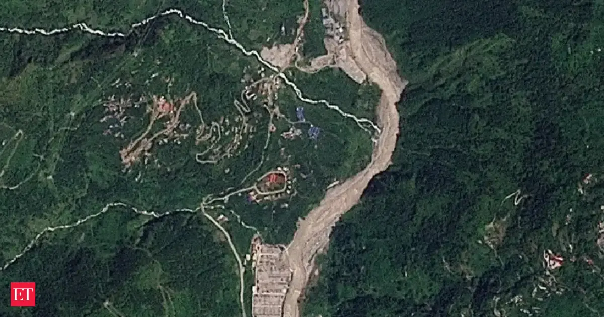
Nepal floods: 20 years of satellite images reveal how a Himalayan river corridor became a disaster trap

A 20-year comparison of satellite images shows how development transformed Nepals vulnerable Himalayan river corridor, with roads, bridges, hotels, hydropower projects and other infrastructure crowding limited land beside the Lhende-Trishuli system. When a devastating August flood surged downstream, the heavily built-up valley offered little room for the torrent to dissipate.
continue reading...

Author
Business News Today

You May Also Like