

Using social media data to map state into 10 regions; is it accurate?
- Posted on September 28, 2026
- By San Francisco Chronicle
- 3 Views
- 1 min read
In brief
This research explores how social media connectivity patterns can reveal California's natural geographic divisions. By analyzing Facebook friendship networks across the state, researchers identified ten distinct regional clusters that challenge traditional administrative boundaries. The study demonstrates the power of digital data in understanding human geography and social cohesion, offering fresh insights into how Californians actually connect beyond official political lines.
Summary auto-generated by AI from the original publisher's content. Editorial standards.
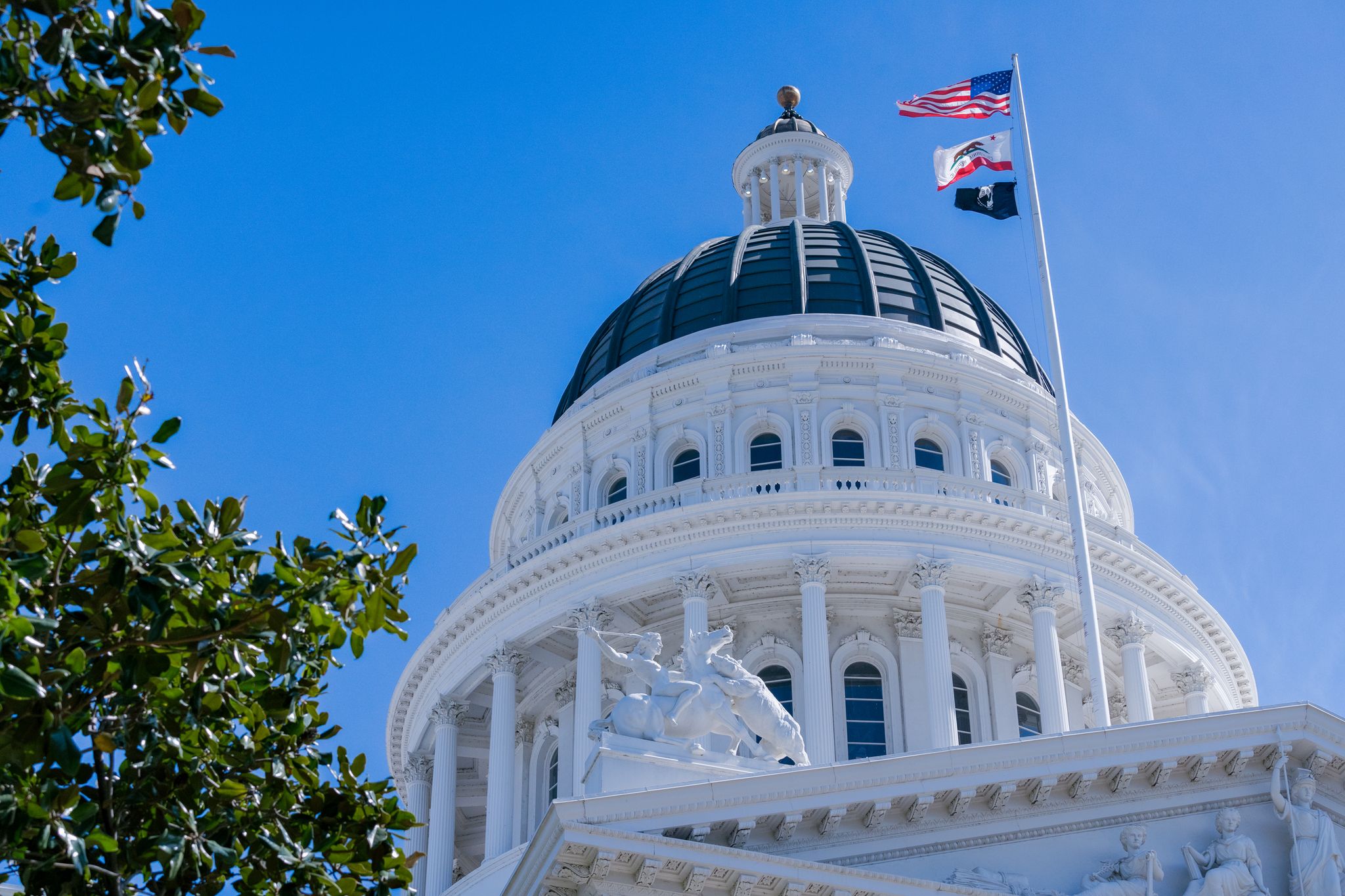
Using social media data to map state into 10 regions; is it accurate?
California’s regional boundaries are the subject of regular debate. But measuring connectedness based on Facebook friendships revealed interesting patterns.