

China’s radar satellites capture sharp images of glacier collapse site in Nepal
- Posted on August 28, 2026
- By South China Morning Post
- 2 Views
- 1 min read
In brief
Chinese commercial satellite operators demonstrated rapid response capabilities by delivering high-resolution imagery of the Himalayan glacier disaster site in Nepal. This development underscores the accelerating commercialization of Beijing's space surveillance infrastructure, traditionally reserved for military and state applications. The quick deployment reveals how advanced satellite technology is transitioning into civilian markets, raising questions about geopolitical implications and the democratization of earth observation capabilities in the Asia-Pacific region.
Summary auto-generated by AI from the original publisher's content. Editorial standards.
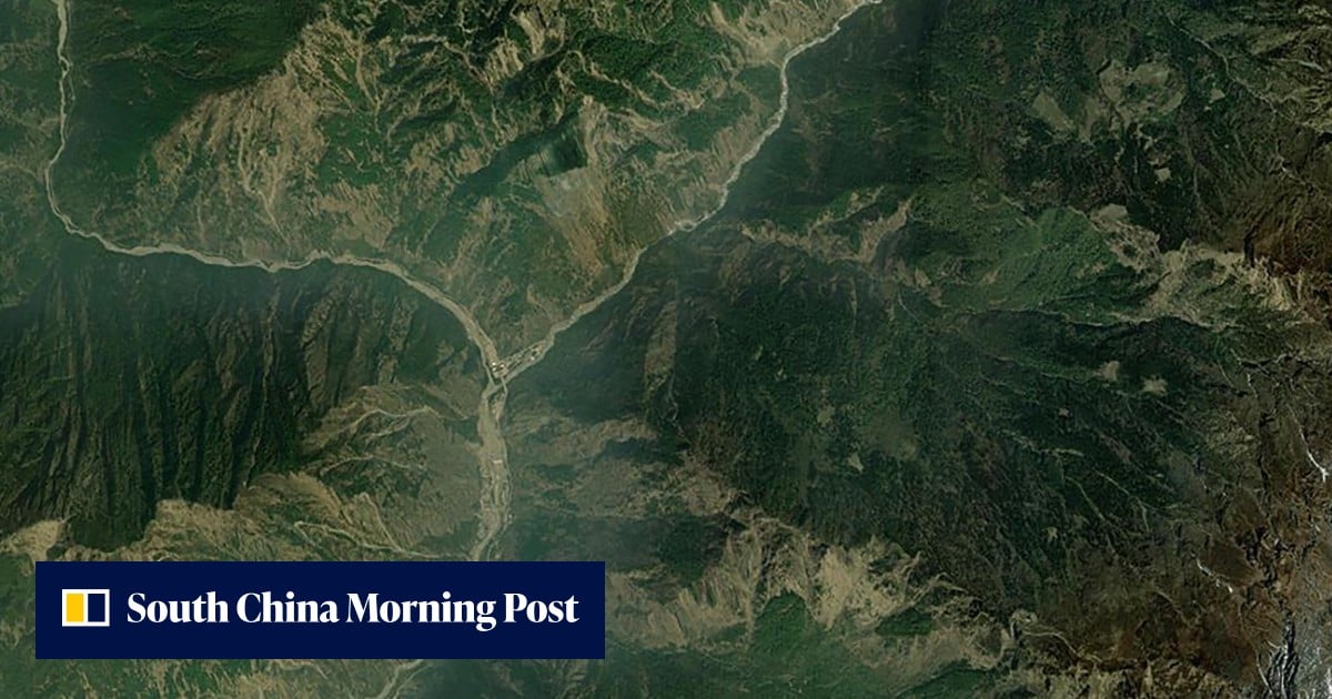
China’s radar satellites capture sharp images of glacier collapse site in Nepal
Swift commercial response highlights how Chinese space surveillance capabilities are expanding beyond military and government circles.